


الصفحة 1
الصفحة 1

Remote sensing in applications of geoinformation
Involves combining data provided from both, in a consistent and sensible manner. This process has been accelerated by technologically advanced tools and methods for remote sensing data access and integration, paving the way for scientific advances in a broadening range of remote sensing exploitations in applications of geoinformation. This volume hosts original research focusing on the exploitation of remote sensing in applications of geoinformation. The emphasis is on a wide range of applications, such as the mapping of soil nutrients, detection of plastic litter in oceans, urban microclimate, seafloor morphology, urban forest ecosystems, real estate appraisal, inundation mapping, and solar potential analysis.

Remote Sensing Image Analysis : Including the Spatial Domain
This book presents a wide range of innovative and advanced image processing methods for including spatial information, captured by neighbouring pixels in remotely sensed images, to improve image interpretation or image classification. Presented methods include different types of variogram analysis, various methods for texture quantification, smart kernel operators, pattern recognition techniques, image segmentation methods, sub-pixel methods, wavelets and advanced spectral mixture analysis techniques. Apart from explaining the working methods in detail a wide range of applications is presented covering land cover and land use mapping, environmental applications such as heavy metal pollution, urban mapping and geological applications to detect hydrocarbon seeps.
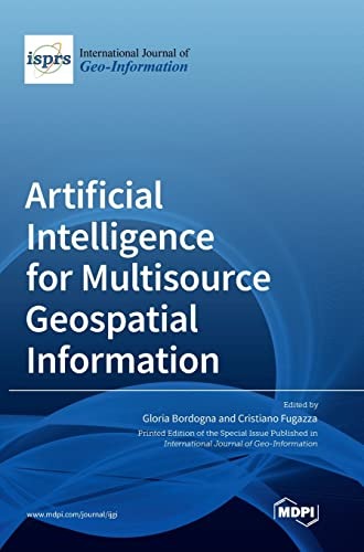
Artificial intelligence for multisource geospatial information
Collects 10 original research contributions published in the Special Issue entitled “Artificial Intelligence for Multisource Geospatial Information” of the ISPRS International Journal of Geo-Information. The focus is on different methods of Geospatial Artificial Intelligence (GeoAI) based on deep learning using different network architectures, clustering, soft computing, and semantic approaches. They are proposed to deal with a variety of Geospatial Big Data (GBD), such as georeferenced texts and photos in social networks, remote sensing images, cartographic maps, multidimensional geo databases, metadata in spatial data infrastructures, and for different tasks, such as for multisource georeferenced text integration and geodata flexible querying, for social sensing by applying sentiment analysis, clustering and geo analysis, for segmentation of roads, clouds and snow, and for detection of small targets and people on the streets.
