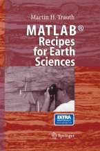
MATLAB® Recipes for Earth Sciences
MATLAB is used in a wide range of applications in geosciences, such as image processing in remote sensing, generation and ...
Lee mas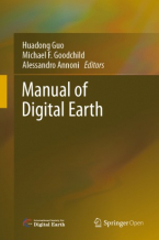
Manual of Digital Earth
This book offers a summary of the development of Digital Earth over the past twenty years. By reviewing the initial vision ...
Lee mas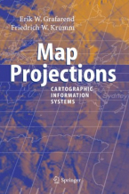
Map Projections
In the context of Geographical Information Systems (GIS) the book offers a timely review of map projections (sphere, ellipsoid, ...
Lee mas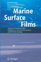
Marine Surface Films
Since the late 1960s, various groups have investigated the influence of marine surface films on mechanisms dominating energy ...
Lee mas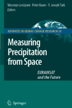
Measuring Precipitation from Space
More than 20 years after the last book on the subject the worldwide precipitation community has produced a comprehensive ...
Lee mas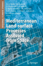
Mediterranean Land-surface Processes Assessed from Space
1. 1 Space View and Ground Observations 1 1. 2 Mediterranean Climatic Environment 2 1. 3 Processes at Surfaces 10 1. 3. 1 ...
Lee mas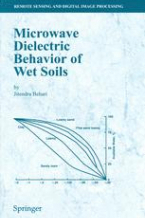
Microwave Dielectric Behaviour of Wet Soils
This book, aimed for agriculture and soil physicists and those working in the areas of remote sensing, deals with the physical ...
Lee mas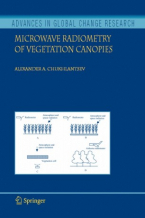
Microwave Radiometry of Vegetation Canopies
Research into microwave radiation from the Earth’s surface in the presence of vegetation canopies, as well as the development ...
Lee mas
Multimodality in Architecture : Collaboration, Technology and Education / Ju Hyun Lee, Michael J. Ostwald, Mi Jeong Kim
Examines multimodality in architecture and its impacts on collaborative, technical and educational processes or systems. ...
Lee mas
Multiple Classifier Systems
Driven by the requirements of a large number of practical and commercially - portant applications, the last decade has witnessed ...
Lee mas
Object-Based Image Analysis : Spatial Concepts for Knowledge-Driven Remote Sensing Applications
This book discusses means, technologies and approaches related to the processing and analysis of multi-sensor, multi-resolution ...
Lee mas
Object-Based Image Analysis and Treaty Verification : New Approaches in Remote Sensing – Applied to Nuclear Facilities in Iran
This book describes recent progress in object-based image interpretation, and also presents many new results in its application ...
Lee mas
Object-Oriented Programming and Java
Object-Oriented Programming and Java presents two important topics in contemporary software development: object-oriented ...
Lee mas
Ocean Waves Breaking and Marine Aerosol Fluxes
This book presents a comprehensive study on the breaking of surface waves induced by wind and the relationship of breaking ...
Lee mas
Open Source Approaches in Spatial Data Handling
The role open-source geospatial software plays in data handling within the spatial information technology industry is the ...
Lee mas
Open Source GIS : A GRASS GIS Approach
With this third edition of Open Source GIS: A GRASS GIS Approach, we enter the new era of GRASS6, the first release that ...
Lee masPhotopolarimetry in Remote Sensing
Photopolarimetric remote sensing is vital in fields as diverse as medical diagnostics, astrophysics, atmospheric science, ...
Lee mas
Planetary Atmospheric Electricity
This volume presents our contemporary understanding of atmospheric electricity at Earth and in other solar system atmospheres. ...
Lee mas
Polar Remote Sensing
Volume 2 focuses on the ice sheets, icebergs, and interactions between ice sheets and the atmosphere and ocean. It contains ...
Lee mas
Polar Remote Sensing
This book is a comprehensive discussion of the applications of both satellite remote sensing and advanced ground-based remote ...
Lee mas