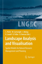
Landscape Analysis and Visualisation : Spatial Models for Natural Resource Management and Planning
This book presents a collection and synthesis of many of these perspectives — perhaps it could only be produced in a land ...
Lee mas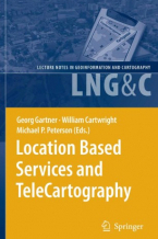
Location Based TeleCartography and Services
This book provides for the first time a general overview of research activities related to location and map-based services. ...
Lee mas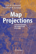
Map Projections
In the context of Geographical Information Systems (GIS) the book offers a timely review of map projections (sphere, ellipsoid, ...
Lee mas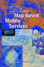
Map-based Mobile Services
Divided into three parts - theory, method and implementation, this book starts with a summary of the state-of-the-art in ...
Lee mas
Microearthquake Seismology and Seismotectonics of South Asia
This volume comprehensively deals with plate tectonics and seismic waves in general and earthquake monitoring by permanent ...
Lee mas
Modelling Land-Use Change
land-use change simulation modelling is a relatively new and dynamic field of study and this book provides a full overview ...
Lee mas
Multimedia Cartography
The various sections of this book cover the theoretical backgrounds, applications and future developments of Multimedia Cartography. ...
Lee mas
Object-Based Image Analysis : Spatial Concepts for Knowledge-Driven Remote Sensing Applications
This book discusses means, technologies and approaches related to the processing and analysis of multi-sensor, multi-resolution ...
Lee mas
Open Source Approaches in Spatial Data Handling
The role open-source geospatial software plays in data handling within the spatial information technology industry is the ...
Lee mas
Open Source GIS : A GRASS GIS Approach
With this third edition of Open Source GIS: A GRASS GIS Approach, we enter the new era of GRASS6, the first release that ...
Lee mas
P-Vector Inverse Method
A major task for physical oceanographers is to determine the movement of oceanic water from observations. This book introduces ...
Lee mas
Pattern-Based Compression of Multi-Band Image Data for Landscape Analysis
This book describes an integrated approach to using remotely sensed data in conjunction with geographic information systems ...
Lee mas
Polar Remote Sensing
Volume 2 focuses on the ice sheets, icebergs, and interactions between ice sheets and the atmosphere and ocean. It contains ...
Lee mas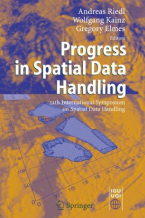
Progress in Spatial Data Handling
The series of International Symposia on Spatial Data Handling started in Zurich, Switzerland, in 1984. Since then it has ...
Lee mas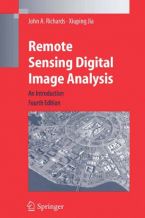
Remote Sensing Digital Image Analysis
Remote Sensing Digital Image Analysis provides the non-specialist with an introduction to quantitative evaluation of satellite ...
Lee mas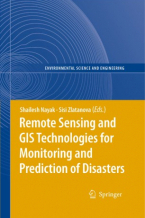
Remote Sensing and GIS Technologies for Monitoring and Prediction of Disasters
Lessons learned in the last several years have given clear indications that the prediction and efficient monitoring of disasters ...
Lee mas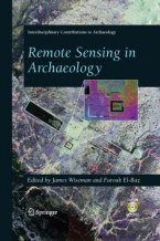
Remote Sensing in Archaeology
"This book provides an excellent and diverse overview of the emerging capability of remote sensing archaeology and is a ...
Lee mas
Rural Analysis and Management : An Earth Science Approach to Rural Science
This handbookpossesses two virtues that are becomingincreasingly dif?cult to ?nd together. The ?rst one is providing a novel ...
Lee mas
Spatial Analysis and GeoComputation
Spatial analysis has been in existence for a long time. More recently, GeoComputation - a new computationally intensive paradigm ...
Lee mas
Spatial Data Modelling for 3D GIS
This book covers fundamental aspects of spatial data modelling specifically on the aspect of three-dimensional (3D) modelling ...
Lee mas