Modelling Land-Use Change
land-use change simulation modelling is a relatively new and dynamic field of study and this book provides a full overview ...
Lee mas
Multimedia Cartography
The various sections of this book cover the theoretical backgrounds, applications and future developments of Multimedia Cartography. ...
Lee mas
Object-Based Image Analysis : Spatial Concepts for Knowledge-Driven Remote Sensing Applications
This book discusses means, technologies and approaches related to the processing and analysis of multi-sensor, multi-resolution ...
Lee mas
Open Source Approaches in Spatial Data Handling
The role open-source geospatial software plays in data handling within the spatial information technology industry is the ...
Lee mas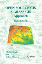
Open Source GIS : A GRASS GIS Approach
With this third edition of Open Source GIS: A GRASS GIS Approach, we enter the new era of GRASS6, the first release that ...
Lee mas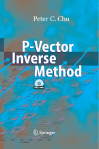
P-Vector Inverse Method
A major task for physical oceanographers is to determine the movement of oceanic water from observations. This book introduces ...
Lee mas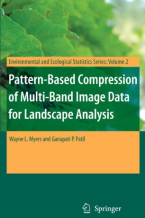
Pattern-Based Compression of Multi-Band Image Data for Landscape Analysis
This book describes an integrated approach to using remotely sensed data in conjunction with geographic information systems ...
Lee mas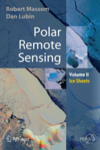
Polar Remote Sensing
Volume 2 focuses on the ice sheets, icebergs, and interactions between ice sheets and the atmosphere and ocean. It contains ...
Lee mas
Progress in Spatial Data Handling
The series of International Symposia on Spatial Data Handling started in Zurich, Switzerland, in 1984. Since then it has ...
Lee mas
Remote Sensing Digital Image Analysis
Remote Sensing Digital Image Analysis provides the non-specialist with an introduction to quantitative evaluation of satellite ...
Lee mas
Remote Sensing and GIS Technologies for Monitoring and Prediction of Disasters
Lessons learned in the last several years have given clear indications that the prediction and efficient monitoring of disasters ...
Lee mas
Remote Sensing in Archaeology
"This book provides an excellent and diverse overview of the emerging capability of remote sensing archaeology and is a ...
Lee mas
Rural Analysis and Management : An Earth Science Approach to Rural Science
This handbookpossesses two virtues that are becomingincreasingly dif?cult to ?nd together. The ?rst one is providing a novel ...
Lee mas
Spatial Analysis and GeoComputation
Spatial analysis has been in existence for a long time. More recently, GeoComputation - a new computationally intensive paradigm ...
Lee mas
Spatial Data Modelling for 3D GIS
This book covers fundamental aspects of spatial data modelling specifically on the aspect of three-dimensional (3D) modelling ...
Lee mas
Superplumes: Beyond Plate Tectonics
This book provides a concise overview of our understanding of the entire mantle, its evolution since early differentiation ...
Lee mas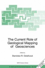
The Current Role of Geological Mapping in Geosciences
The book contains private views of experts from various countries on the role of geological mapping in sustainable development. ...
Lee mas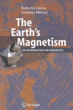
The Earths Magnetism
This book reviews the general characteristics of the Earth’s magnetic field and the magnetic properties of minerals, and ...
Lee mas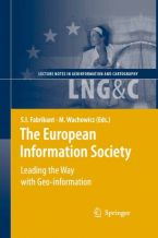
The European Information Society
The Association of Geographic Information Laboratories for Europe (AGILE) conferences provide a multidisciplinary forum for ...
Lee mas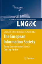
The European Information Society : Taking Geoinformation Science One Step Further
The Association of Geographic Information Laboratories for Europe (AGILE) was established in early 1998 to promote academic ...
Lee mas