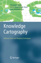
Knowledge Cartography : Software Tools and Mapping Techniques
The authors see mapping software as a set of visual tools for reading and writing in a networked age. In an information ocean, ...
Lee mas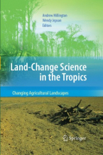
Land-Change Science in the Tropics: Changing Agricultural Landscapes
Land use and land-cover change research over the past decade has focused mainly on contemporary primary land-cover conversions ...
Lee mas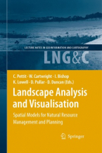
Landscape Analysis and Visualisation : Spatial Models for Natural Resource Management and Planning
This book presents a collection and synthesis of many of these perspectives — perhaps it could only be produced in a land ...
Lee mas
Light Scattering Reviews 3 : Light Scattering and Reflection
This book is devoted to modern knowledge and milestones in both experimental and theoretical techniques related to light ...
Lee mas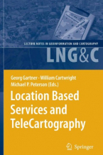
Location Based TeleCartography and Services
This book provides for the first time a general overview of research activities related to location and map-based services. ...
Lee mas
Map-based Mobile Services
Divided into three parts - theory, method and implementation, this book starts with a summary of the state-of-the-art in ...
Lee mas
Map-based Mobile Services : Design, Interaction and Usability
It addresses methods and techniques for topics that range from design and rendering, context modelling, personalisation, ...
Lee mas
Maritime Spatial Planning
This book is the first comprehensive overview of maritime spatial planning. Situated at the intersection between theory and ...
Lee mas
Martin Waldseemüller’s 'Carta marina' of 1516 Study and Transcription of the Long Legends
This book presents the first detailed study of one of the most important masterpieces of Renaissance cartography, Martin ...
Lee mas
Multimedia Cartography
The various sections of this book cover the theoretical backgrounds, applications and future developments of Multimedia Cartography. ...
Lee mas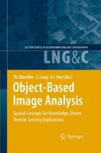
Object-Based Image Analysis : Spatial Concepts for Knowledge-Driven Remote Sensing Applications
This book discusses means, technologies and approaches related to the processing and analysis of multi-sensor, multi-resolution ...
Lee mas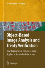
Object-Based Image Analysis and Treaty Verification : New Approaches in Remote Sensing – Applied to Nuclear Facilities in Iran
This book describes recent progress in object-based image interpretation, and also presents many new results in its application ...
Lee mas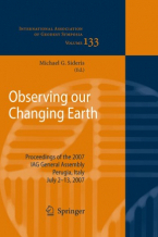
Observing our Changing Earth
Contains a selection of 99 papers from the International Association of Geodesy (IAG) quadrennial General Assembly, held ...
Lee mas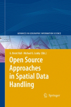
Open Source Approaches in Spatial Data Handling
The role open-source geospatial software plays in data handling within the spatial information technology industry is the ...
Lee mas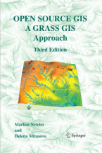
Open Source GIS : A GRASS GIS Approach
With this third edition of Open Source GIS: A GRASS GIS Approach, we enter the new era of GRASS6, the first release that ...
Lee mas
Precipitation: Advances in Measurement, Estimation and Prediction
Accurate and comprehensive information on precipitation is essential for understanding the global water/energy cycle and ...
Lee mas
Project Design for Geomatics Engineers and Surveyors / Clement Ogaja, Nashon Adero, Derrick Koome
1. Provides a simple guide for geomatics engineering projects using recent and advanced technologies. 2. Includes new content ...
Lee masRemote Sensing Image Analysis: Including the Spatial Domain
This book presents a wide range of innovative and advanced image processing methods for including spatial information, captured ...
Lee mas
Remote Sensing and GIS Technologies for Monitoring and Prediction of Disasters
Lessons learned in the last several years have given clear indications that the prediction and efficient monitoring of disasters ...
Lee mas
Rural Analysis and Management : An Earth Science Approach to Rural Science
This handbookpossesses two virtues that are becomingincreasingly dif?cult to ?nd together. The ?rst one is providing a novel ...
Lee mas