Advances in Digital Terrain Analysis
Terrain analysis has been an active study field for years and attracted research studies from geographers, surveyors, engineers ...
Lire la suite
Advances in Geoinformatics
The GeoInfo series of scientific conferences is an annual forum for exploring research, development and innovative applications ...
Lire la suite
Advances in the Geological Storage of Carbon Dioxide
As is now generally accepted mankind’s burning of fossil fuels has resulted in the mass transfer of greenhouse gases to ...
Lire la suite
Applied Hydrogeophysics
This book focuses on how hydrogeophysical methods can be applied to solve problems facing environmental engineers, geophysicists, ...
Lire la suite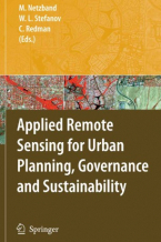
Applied Remote Sensing for Urban Planning, Governance and Sustainability
Despite the promising and exciting possibilities presented by new and fast-developing remote sensing technologies applied ...
Lire la suite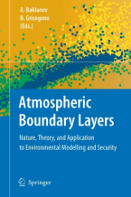
Atmospheric Boundary Layers
This collection of peer reviewed papers represents a concise, up-to-date summary of our current knowledge of planetary boundary ...
Lire la suite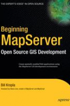
Beginning MapServer
Beginning MapServer: Open Source GIS Development is the first book of its kind. It offers a comprehensive introduction to ...
Lire la suite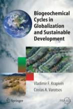
Biogeochemical Cycles in Globalization and Sustainable Development
This valuable study of environmental subsystems functioning under various climatic and anthropogenic conditions provides ...
Lire la suite
Buried Waste in the Seabed – Acoustic Imaging and Bio-Toxicity
Buried waste on the seabed is a major source of pollution. But, very often, waste sites are not known until a serious problem ...
Lire la suite
Developments in Spatial Data Handling
The International Symposium on Spatial Data Handling is the premier research forum for Geographic Information Science. The ...
Lire la suite
Digital Soil Mapping with Limited Data
This book focuses on digital soil mapping methodologies and applications for areas where data are limited, and has the following ...
Lire la suite
Digital Terrain Modelling
This book presents a set of papers on Digital Terrain Modelling for Policy Support which aims to be informative and stimulating ...
Lire la suite
Earth Science Satellite Remote Sensing
Earth science satellite remote sensing has been rapidly expanding during the last decade. Volume 2 of this two volume monograph ...
Lire la suite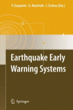
Earthquake Early Warning System
The book provides information on the major EEW systems in operation and on the state of the art of the different blocks forming ...
Lire la suite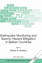
Earthquake Monitoring and Seismic Hazard Mitigation in Balkan Countries
this book including deployment of modern seismograph stations and arrays and these developments are detailed in the book. ...
Lire la suite
Flood Risk Management: Hazards, Vulnerability and Mitigation Measures
Floods are of increasing public concern world-wide due to increasing damages and unacceptably high numbers of injuries. Previous ...
Lire la suite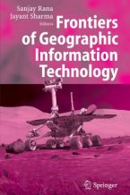
Frontiers of Geographic Information Technology
Although designed primarily for desktop mapping and analysis, Geographic Information Systems have, for some years, been ‘coupled’ ...
Lire la suite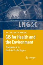
GIS for Health and the Environment
This book is a result of the International Conference in GIS and Health held on 27-29 June 2006 in Hong Kong. The selected ...
Lire la suite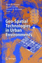
Geo-Spatial Technologies in Urban Environments
The purpose of this book is to investigate and develop alternate methodological approaches to understand urban environments ...
Lire la suite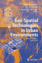
Geo-Spatial Technologies in Urban Environments
This book expands the current frame of reference of remote sensing and geographic information specialists to include an array ...
Lire la suite