
Geographic Uncertainty in Environmental Security
Proceedings of the NATO Advanced Research Workshop on Fuzziness and Uncertainty in GIS for Environmental Security and Protection.was ...
Weiterlesen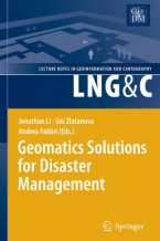
Geomatics Solutions for Disaster Management
Natural and anthropogenic disasters have caused a large number of victims and significant social and economic losses in the ...
Weiterlesen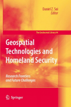
Geospatial Technologies and Homeland Security : Research Frontiers and Future Challenges
This book presents an overview of the latest development of geospatial technologies (including, but not limited to, GIS, ...
Weiterlesen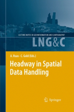
Headway in Spatial Data Handling : 13th International Symposium on Spatial Data Handling
For sustainable development, climate change or more simply resource sharing and economic development, this information helps ...
Weiterlesen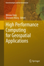
High Performance Computing for Geospatial Applications
This volume fills a research gap between the rapid development of High Performance Computing (HPC) approaches and their geospatial ...
Weiterlesen
High Resolution Numerical Modelling of the Atmosphere and Ocean
This book includes 15 individual papers that highlight the emerging research in atmospheric and oceanic science that has ...
Weiterlesen
Image Analysis and Recognition
This two-volume set LNCS 12131 and LNCS 12132 constitutes the refereed proceedings of the 17th International Conference on ...
Weiterlesen
Image Analysis and Recognition
This two-volume set LNCS 12131 and LNCS 12132 constitutes the refereed proceedings of the 17th International Conference on ...
Weiterlesen
Integration of Information for Environmental Security
Currently the necessary information exists in a multitude of forms and formats geographically and physically scattered over ...
Weiterlesen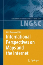
International Perspectives on Maps and the Internet
Little notice was taken of the first web map but the development of Internet cartography since has been nothing but remarkable. ...
Weiterlesen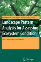
Landscape Pattern Analysis for Assessing Ecosystem Condition
Landscape Pattern Analysis for Assessing Ecosystem Condition presents a new method for assessing spatial pattern in raster ...
Weiterlesen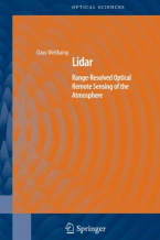
Lidar
Written by leading experts in optical radar, or lidar, this book brings all the recent practices up-to-date and covers a ...
Weiterlesen
Light Scattering Reviews
Light Scattering Reviews is the first book in a series devoted to bringing together the state-of-the-art and milestones in ...
Weiterlesen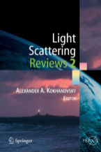
Light Scattering Reviews 2
Part of the ""Light Scattering Reviews"" series that is devoted to modern knowledge and milestones in both experimental ...
Weiterlesen
Light Scattering Reviews 3 : Light Scattering and Reflection
This book is devoted to modern knowledge and milestones in both experimental and theoretical techniques related to light ...
Weiterlesen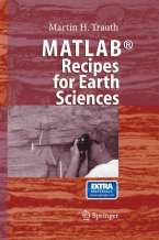
MATLAB® Recipes for Earth Sciences
MATLAB is used in a wide range of applications in geosciences, such as image processing in remote sensing, generation and ...
Weiterlesen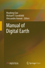
Manual of Digital Earth
This book offers a summary of the development of Digital Earth over the past twenty years. By reviewing the initial vision ...
Weiterlesen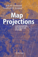
Map Projections
In the context of Geographical Information Systems (GIS) the book offers a timely review of map projections (sphere, ellipsoid, ...
Weiterlesen
Marine Surface Films
Since the late 1960s, various groups have investigated the influence of marine surface films on mechanisms dominating energy ...
Weiterlesen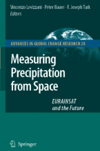
Measuring Precipitation from Space
More than 20 years after the last book on the subject the worldwide precipitation community has produced a comprehensive ...
Weiterlesen