
Light Scattering Reviews 3 : Light Scattering and Reflection
This book is devoted to modern knowledge and milestones in both experimental and theoretical techniques related to light ...
Weiterlesen
Map Projections
In the context of Geographical Information Systems (GIS) the book offers a timely review of map projections (sphere, ellipsoid, ...
Weiterlesen
Map-based Mobile Services : Design, Interaction and Usability
It addresses methods and techniques for topics that range from design and rendering, context modelling, personalisation, ...
Weiterlesen
Maritime Spatial Planning
This book is the first comprehensive overview of maritime spatial planning. Situated at the intersection between theory and ...
Weiterlesen
Martin Waldseemüller’s 'Carta marina' of 1516 Study and Transcription of the Long Legends
This book presents the first detailed study of one of the most important masterpieces of Renaissance cartography, Martin ...
Weiterlesen
Multimedia Database Retrieval
Multimedia Database Retrieval: A Human-Centered Approach presents the latest development in user-centered methods and the ...
Weiterlesen
Object-Based Image Analysis : Spatial Concepts for Knowledge-Driven Remote Sensing Applications
This book discusses means, technologies and approaches related to the processing and analysis of multi-sensor, multi-resolution ...
Weiterlesen
Object-Based Image Analysis and Treaty Verification : New Approaches in Remote Sensing – Applied to Nuclear Facilities in Iran
This book describes recent progress in object-based image interpretation, and also presents many new results in its application ...
Weiterlesen
Observing our Changing Earth
Contains a selection of 99 papers from the International Association of Geodesy (IAG) quadrennial General Assembly, held ...
Weiterlesen
Open Source Approaches in Spatial Data Handling
The role open-source geospatial software plays in data handling within the spatial information technology industry is the ...
Weiterlesen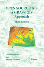
Open Source GIS : A GRASS GIS Approach
With this third edition of Open Source GIS: A GRASS GIS Approach, we enter the new era of GRASS6, the first release that ...
Weiterlesen
Precipitation: Advances in Measurement, Estimation and Prediction
Accurate and comprehensive information on precipitation is essential for understanding the global water/energy cycle and ...
WeiterlesenRemote Sensing Image Analysis: Including the Spatial Domain
This book presents a wide range of innovative and advanced image processing methods for including spatial information, captured ...
Weiterlesen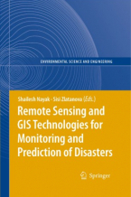
Remote Sensing and GIS Technologies for Monitoring and Prediction of Disasters
Lessons learned in the last several years have given clear indications that the prediction and efficient monitoring of disasters ...
Weiterlesen
Rural Analysis and Management : An Earth Science Approach to Rural Science
This handbookpossesses two virtues that are becomingincreasingly dif?cult to ?nd together. The ?rst one is providing a novel ...
Weiterlesen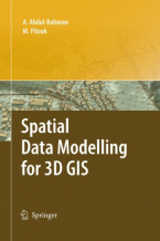
Spatial Data Modelling for 3D GIS
This book covers fundamental aspects of spatial data modelling specifically on the aspect of three-dimensional (3D) modelling ...
Weiterlesen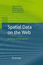
Spatial Data on the Web
Spatial data is essential in a wide range of application domains today. While geographical applications remain the key target ...
Weiterlesen
Spatial Database Systems
This first of a kind book places spatial data within the broader domain of information technology (IT) while providing a ...
Weiterlesen
Spationomy Spatial Exploration of Economic Data and Methods of Interdisciplinary Analytics
The project aims to exchange interdisciplinary knowledge in the fields of economics and geomatics. For the newly introduced ...
Weiterlesen
The European Information Society : Taking Geoinformation Science One Step Further
The Association of Geographic Information Laboratories for Europe (AGILE) was established in early 1998 to promote academic ...
Weiterlesen